Unit 3, The Vale Centre, Greysteel, Co Derry BT47 3GE
Tel: 028 7181 2060 Fax: 028 7187 8131 Mobile: 07793 753 008
Partners Ian Thames BSC Claire Thames MA(Hons) CA
Services
North West Land Survey provide a wide range of services including;
Topographic Surveys
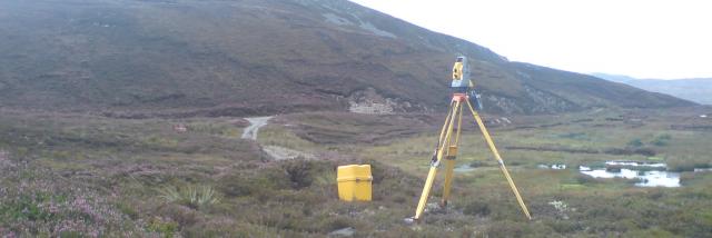
- Topographic site surveys of small and large sites to clients specification, to meet the needs of planning and road service.
- GPS Control using Leica SmartNet RTK GPS giving Irish Grid or ITM Coordinates and Ordnance Datum Levels.
- Sections and Elevations produced from surveys if requested.
- Manhole invert levels, pipe sizes and directions of flow surveyed if required.
- Surveys for flood risk analysis.
Measured Building Surveys
- Floor Plans, Elevations and Sections surveyed to the highest standard.
Site Setting Out
- Site Setting Out and marking Out to facilitate engineers and developers.
Volumetric Calculations
- 3D Ground Modelling of Stockpiles and other material producing accurate volume analysis.
As Constructed Surveys
- As Constructed surveys providing architects and developers with accurate data for deed and transfer mapping purposes.
CAD Services
- AutoCAD drawings produced to clients specifications.
Engineering Surveys
- Millimeter acuuracy for setting out pile positions, steelwork and turbine positions etc.

